Central Victoria
 The Central Victorian region is a special place in Australia. This term is mainly used in a geological context to describe the part of the Great Dividing Range in Victoria that is outside the Alpine areas. The area is situated east of Ballarat, south of Bendigo, north and east of Melbourne, west of the Alpine areas and includes the Great Dividing Range. Major towns of the highlands include Castlemaine, Creswick, Daylesford, Gisborne, Kyneton and Woodend.
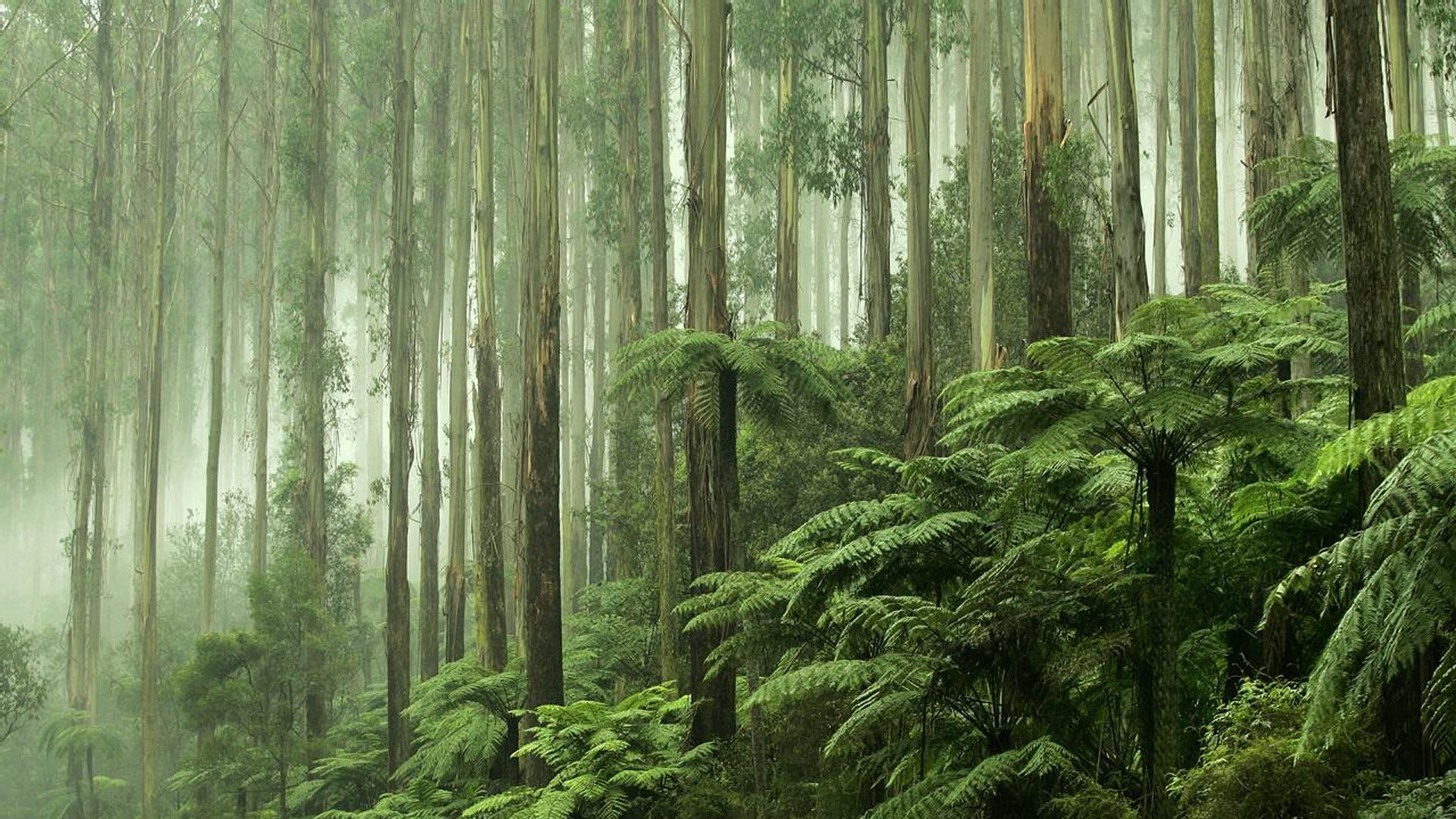
All these towns are located in the western part of the Central Highlands usually referred to as the West Central Highlands. The eastern part of the Central Highlands referred to as the East Central Highlands also contains areas of rainforest. The East Victorian Central Highlands, including Melbourne's forested water catchments, contain cool temperate rainforests; dominated by myrtle beech and southern sassafras, with an understorey of ferns and mosses. They may also contain eucalypt trees and blackwood.
The North Central Victorian region lies to the south of the Victorian/New South Wales border as defined by the Murray River, to the southwest of the Hume region, to the west of the Great Dividing Range contained within the Central Highlands and Victorian Alps, to the north of Greater Melbourne, to the northeast of the Wimmera, and to the east of the Mallee region.
As at the 2016 Australian census, the North Central region had a population of 249,660, representing the aggregate population of the eight local government areas that comprise the region. Sustainability Victoria, a Victorian Government agency, defines North Central Victoria as the municipalities of Buloke, Gannawarra, Loddon, Campaspe, Central Goldfields, Mount Alexander, Macedon Ranges and the City of Greater Bendigo. A climate change study by LaTrobe University also includes the Shire of Hepburn within the region. The major urban centres are Bendigo, Castlemaine, Maryborough and Rochester. Smaller localities include Kyneton, Pyramid Hill, Kerang, Donald and Creswick.